Loaded jurisdiction
Geography, available feeds, resources, and the world state currently held by the application.
GIS & jurisdiction data
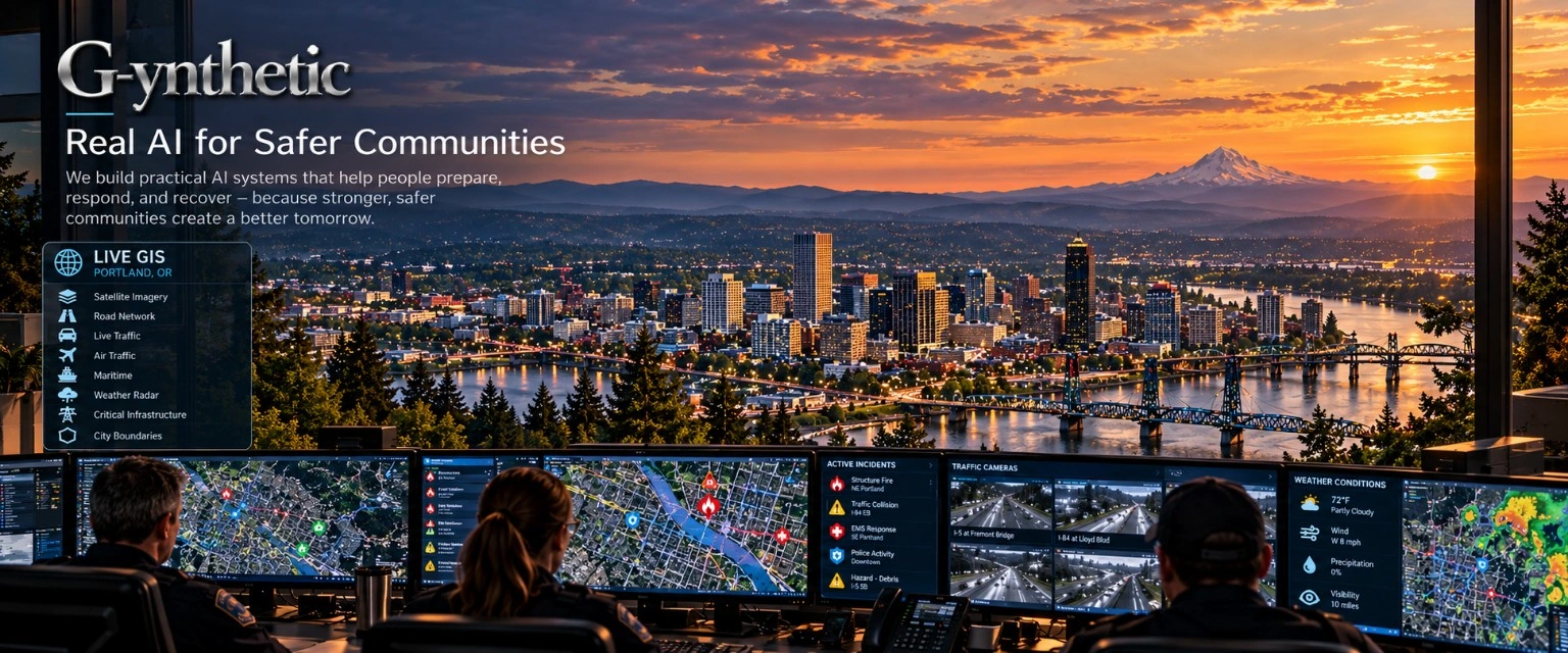
Begin with the place you are responsible for—its roads, boundaries, facilities, and available current context. Then capture a separate exercise copy for a scenario you can control.
Load the jurisdiction
The repository supports city-name search through Nominatim and base-map data acquisition through OpenStreetMap / Overpass.
Bring county, state, or other jurisdiction-specific layers into the full application through GIS imports. GeoJSON and GeoPackage imports support local context without requiring one universal dataset.
Coverage, detail, and update frequency depend on the source and the area loaded. Building acquisition is bounded around the city center for query performance; a city search does not imply complete statewide coverage.
A clear distinction
“Live” describes a connected source and its timestamp—not an assumption that every layer is current everywhere.
| Data | How it enters | What to verify |
|---|---|---|
| Roads, buildings, boundaries | City-name search, OSM / Overpass acquisition | Geographic extent, completeness, and source freshness |
| Jurisdiction GIS layers | GeoJSON or GeoPackage import in the full application | Layer ownership, coordinate system, and as-of date |
| Weather, air, and maritime context | Available source-specific feeds and watchers | Provider access, local coverage, and last update |
| Facilities and resource context | Available facility data and configured exercise inputs | Measured values versus assumptions or estimates |
| Cameras and sensors | Assumed positions in the documented prototype | No real device network is bound by those illustrations |
Forking the loaded picture
Geography, available feeds, resources, and the world state currently held by the application.
A human initiates the exercise fork. The capture records the originating jurisdiction and the fork time.
Live feeds are cut for the exercise copy. Scenario activity is marked EXERCISE and recorded separately.
Read-only data intake and an isolated exercise world support a simple boundary: rehearse policy and procedure without writing simulated changes back to operational systems.
Human-directed scenario design
Customize the hazard, severity, conditions, objectives, participants, and inject sequence. AI can support scenario development and fill response positions; deterministic controls provide a comparison baseline.
The person running the exercise decides which policies and procedures are being examined, when to advance the exercise, and what the findings mean.
Connect the geography to the evaluation ↗An accountable exercise starts with a clear question